A Quick Ride an Hour from the GTA: 48 km Along Lake Simcoe, Keswick to Sibbald Point
Most of the rides on this blog are a weekend’s commitment. This one is a morning. Lake Simcoe’s south shore, between Keswick and Sibbald Point, is about an hour’s drive from the GTA, and it’s as close as quiet lakeside riding gets to the city — a shore road strung with small beaches, a churchyard where Stephen Leacock is buried, and an inland loop of farm roads that was well ahead of the lake on fall colour when we rode it. Leave Toronto after breakfast, ride two hours, be home for lunch.
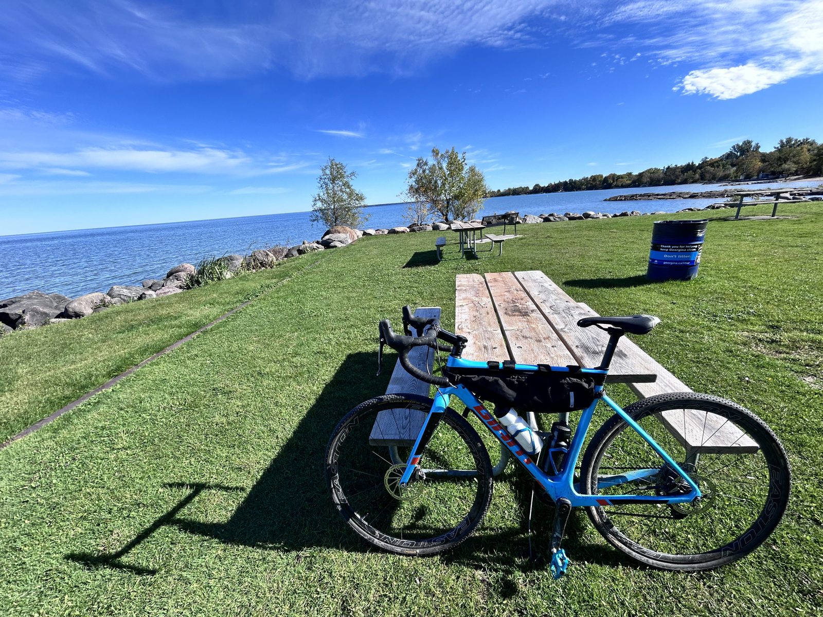
We rode it on Tuesday 6 October 2026, under a sky without a single cloud in it, the week before Thanksgiving, on a cyclocross bike — 60 km with the extensions, in 2:29 of moving time, a 24.2 km/h average — it’s that kind of road: smooth, flat and quick. October is the time for colour, but it’s also cold: it was about 5 °C when we set off. A jacket and long pants were right; gloves would have been better.
There are two ways to do it. Drive up and park at North Gwillimbury Park in Keswick, which is what we did. Or, if you’re camping at Sibbald Point Provincial Park — open for camping until 26 October this year — start from your site; the route goes right past it. Day riders don’t need to go into the park at all — just use the roads around it and you save the entry fee.
Quick answer: A 48 km ride from North Gwillimbury Park in Keswick, east along Lake Simcoe through Willow Beach and Jackson’s Point to Sibbald Point, round a 16 km inland loop of paved concession roads, and back along the shore. 100% paved and flat — 433 m of total ascent on the Garmin, spread over dozens of rises you barely notice, and the whole route sits between 219 m and 261 m — so any bike will do. About an hour from the GTA by car; about two hours on the bike.
The ride
| Ride | Distance | Climbing | Route | Track |
|---|---|---|---|---|
| From North Gwillimbury Park, Keswick (parking) | 48.3 km base route (drawn line); 60 km as we rode it, with the extensions | 60 km in 2:29 moving, 24.2 km/h average, +433 m (Garmin, cyclocross bike; the drawn line says +237 m) | Out-and-back along the shore, with a 16 km loop inland from Sibbald Point. All paved. Use the roads around the park to skip the entry fee. | GPX |
| From a Sibbald Point campsite | about 16 km (inland loop only) to about 48 km (the whole thing) | gentle | Loop first, then the shore out to Keswick and back — or just the shore as far as you like | same file |
The shape is a lollipop. The first 17 km and the last 16 km are the same shore road ridden in opposite directions; the loop at the far end is the only part you ride once. That sounds like a drawback until you do it: the lake is on your left going out and your right coming back, and the light on it in the morning is not the light on it at eleven.
One note on the file: it’s a drawn line, not a recorded ride, so it carries no times, and its +237 m of climbing comes from a terrain model; the Garmin’s barometer counted 433 m, which is the figure to trust. On the day we added the extensions described below, so the Garmin read 60 km rather than 48. Treat the GPX as the shape of the route and the description as the route.
Out along the shore: Keswick to Sibbald Point, km 0–17
Start at North Gwillimbury Park on Lake Drive in Keswick — there’s parking, a playground and a lake view to set off on. From there the road follows the shore east, and for most of the next 15 km you’re within a few hundred metres of the water: cottages and old summer houses on the lake side, mature trees over the road, and every couple of kilometres a gap where a public park comes down to the shore.
Georgina has around 52 km of Lake Simcoe shoreline and a remarkable amount of it is reachable from this one road. In order, going east:
- Willow Beach Conservation Area at about km 6 — a proper sand beach, with washrooms.
- De La Salle Park and Franklin Beach at Jackson’s Point, around km 10 — a big grassy waterfront park, picnic tables, washrooms.
- Jackson’s Point Harbour, with its lighthouse, just off the route.
In July these parks are busy and non-residents pay by the hour to park. In October there’s nobody there, which is the single best argument for riding this in the fall.
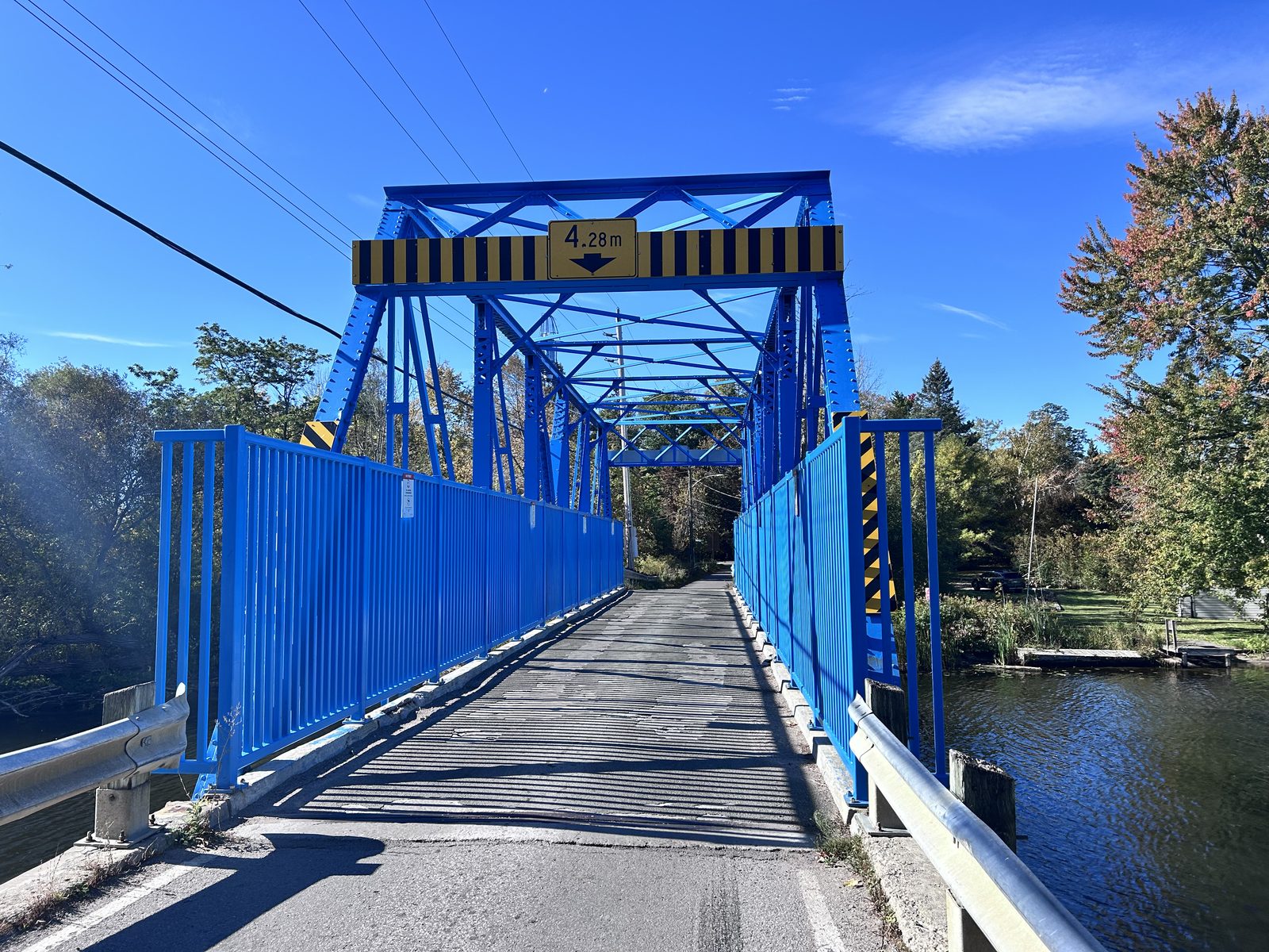
Past Jackson’s Point the route crosses the Black River on a one-lane steel truss bridge, painted bright blue, and picks up Hedge Road for the run to Sibbald Point.
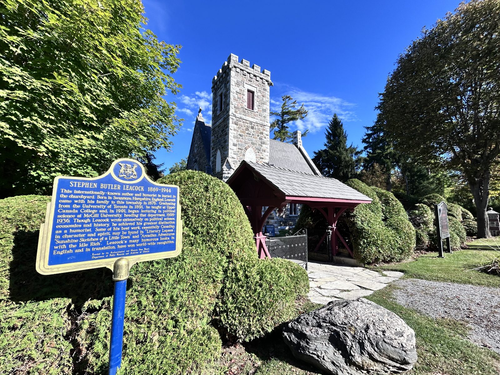
Hedge Road ends at St. George’s Anglican Church, a small stone church with a crenellated tower, and its churchyard is the reason to stop. Stephen Leacock — the humorist, author of Sunshine Sketches of a Little Town — is buried here in his family’s plot, behind the cedar hedges; there’s a provincial plaque at the lychgate. Mazo de la Roche, who wrote the Jalna novels, is buried in the same churchyard. Two of the best-known Canadian writers of the first half of the twentieth century, a few metres apart, at the end of a lake road. It’s worth ten minutes off the bike.
Right next door is Sibbald Point Provincial Park itself — the beach, the campground and Eildon Hall, the Sibbald family’s house, now a museum open in July and August. Day use is open all year. If you’re riding from Keswick, though, you don’t need to go in: use the roads around the park and you save the entry fee. Go in if you want the beach; ride past if you just want the ride.
The inland loop, km 17–33
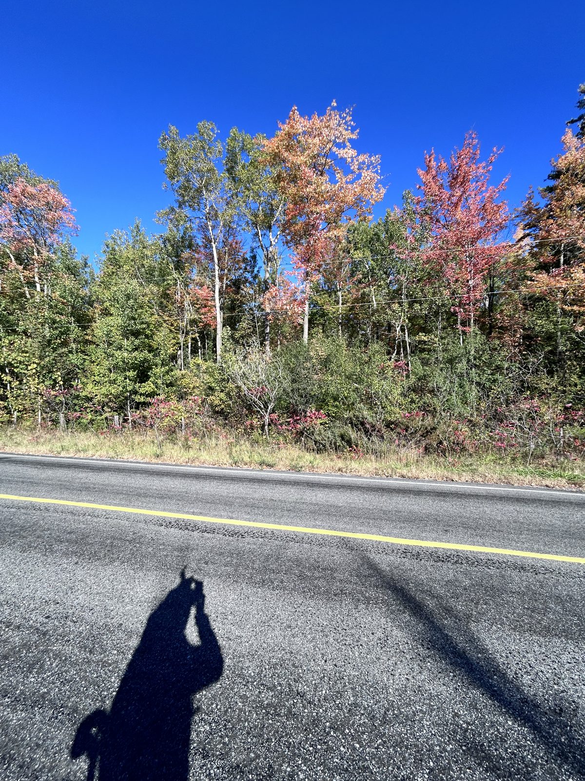
From the park the route turns away from the lake and heads south, then swings east and comes back north in a loop of about 16 km. It’s a completely different ride. The shore is cottages, hedges and lake glimpses; the loop is two-lane paved country road with a painted centre line, hydro poles, open fields and woodlots — and on 6 October, far more colour. The willows down at the water were still entirely green. Two kilometres inland the maples along the roadside had gone red and orange. Lake Simcoe holds its warmth into the fall, and the shore seems to run behind the farmland as a result; if you’re riding for colour, the loop is where it is.
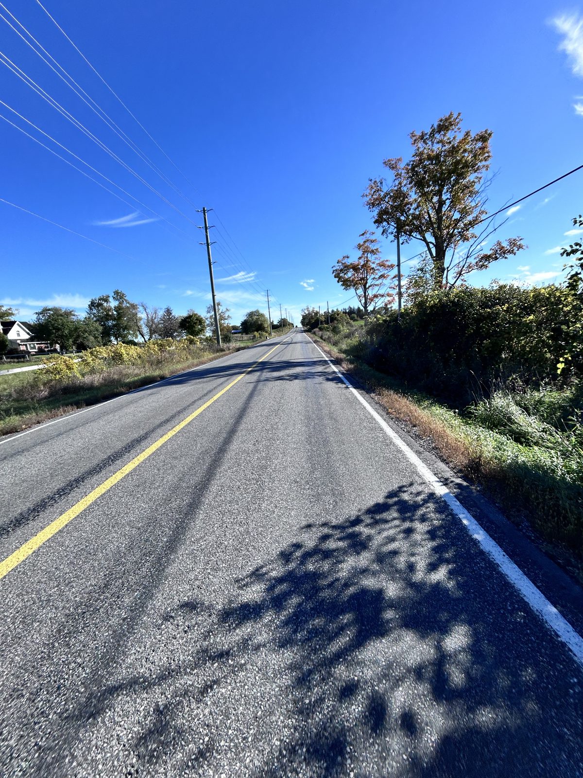
Don’t let the word “inland” worry you — it’s still flat. The high point is about 261 m, roughly 40 m above the lake, reached in long gentle rises south of the park; most of the Garmin’s 433 m comes from small ups and downs you’ll hardly feel. The loop comes back north along Stoney Batter Road and rejoins the shore road at Sibbald Point.
Making it longer. The route extends easily at both ends: west toward Balfour Beach past the Keswick start, and east toward Pefferlaw beyond the far end of the loop. With both, our Garmin read 60 km instead of 48. The eastern stretch was the best colour of the day — a solid wall of red maple and birch along the road edge. Neither extension is in the GPX; ride out until it stops being worth it, then turn around.
Back along the shore, km 33–48
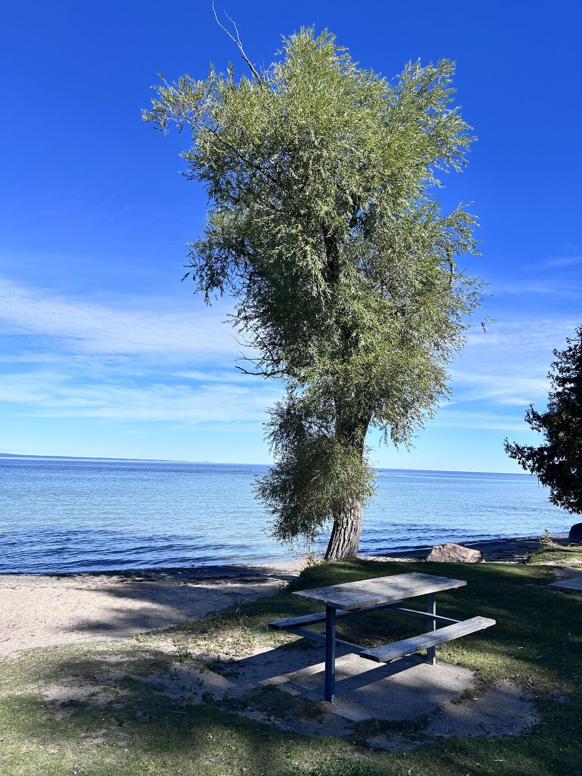
From Sibbald Point it’s the shore road home, the same road in the opposite direction: St. George’s, the blue bridge, Jackson’s Point, Willow Beach. With the lake now on the right, this is the half to take your time on. Willow Beach at about km 42 is the place to stop: a short curve of sand, picnic tables under old trees, and on a weekday in October, nobody.
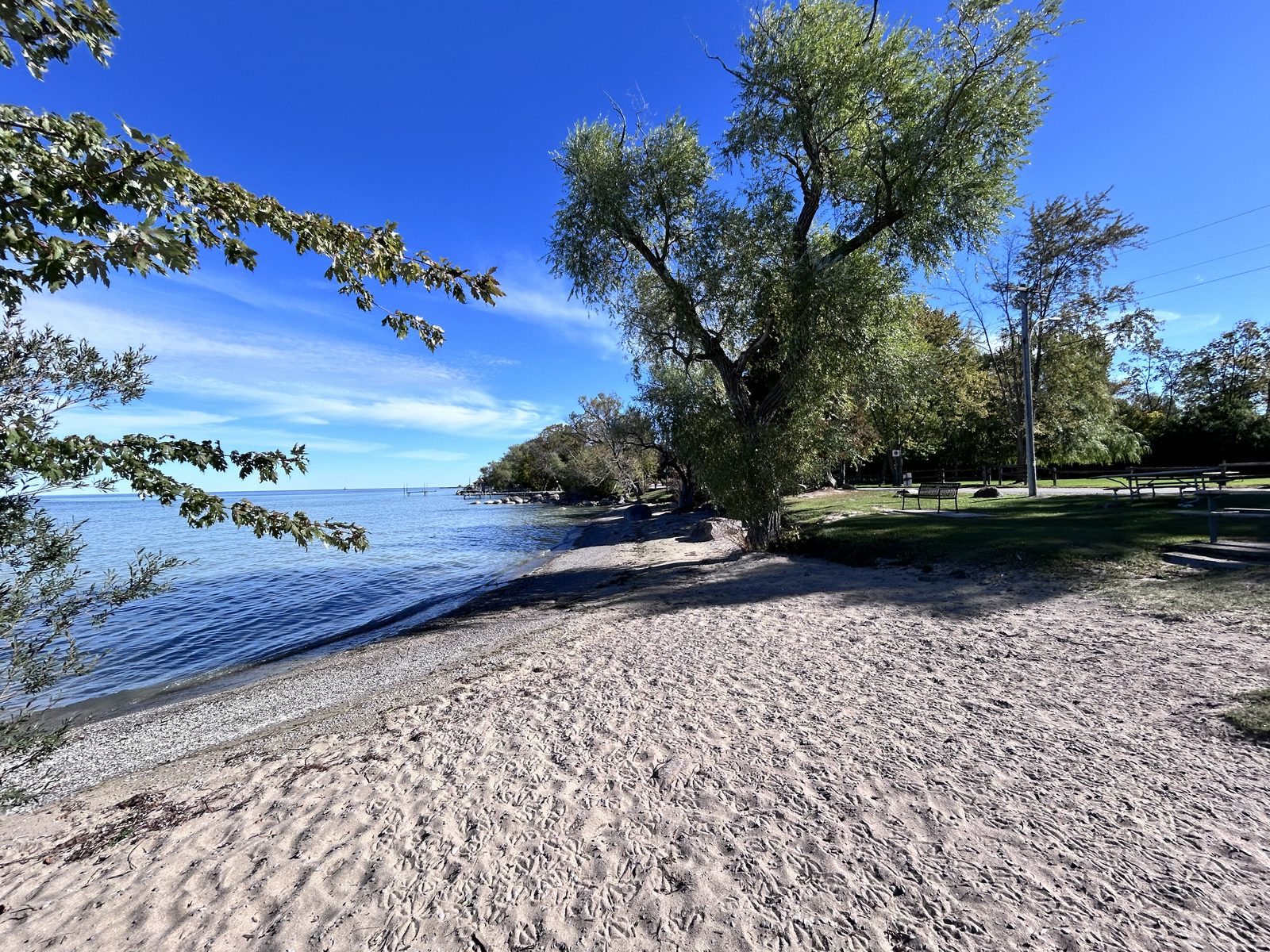
From Willow Beach it’s six kilometres back along Lake Drive to North Gwillimbury Park.
Two ways to start
As a day trip: park at North Gwillimbury Park. This is what we did, and it’s the quick version: about an hour’s drive from the GTA, a lot on Lake Drive in Keswick, and you’re riding along the water within a minute of leaving the car. Ride the whole 48 km, skip the park entry by using the roads around it, and you can be back in the city by early afternoon.
From a campsite at Sibbald Point. The ride passes the gate of a 583-site provincial park, so if you’re camping there, ride out of your site instead — the same basecamp cycling argument as our Pinery rides: no bikepacking load, a dry tent twenty minutes away if the weather turns, and you can fit a ride into the morning you pack up.
From the park, the inland loop is about 16 km — a before-breakfast ride. The shore out to Willow Beach and back is about 20 km, Keswick and back about 32 km, and the whole 48 km loop is the same distance from either end.
What’s worth knowing about Sibbald Point as a fall base:
- Camping runs to 26 October 2026; day use is open all year. Late October means cold nights near freezing — bring the warm sleeping bag.
- It’s big: 583 campsites, 270 of them electrical, which matters once nights get cold and you want a heater.
- 285 sites are radio-free. In a park this close to the city that’s not a detail. In October it’s quieter everywhere, but if you’re booking into a shoulder-season weekend, the radio-free areas are the ones to look at.
- It’s an hour from Toronto, which is exactly why it fills up in summer and exactly why it’s easy in October.
What the booking site can’t tell you about cycling
Sibbald Point’s park page lists “biking” as an activity, which is true and tells you nothing. It doesn’t tell you there’s a 52 km shoreline next door with a public beach every few kilometres; that the roads inland are smooth, quiet and paved; that you can ride to Leacock’s grave in fifteen minutes; or that in early October the colour is inland, not on the shore. Those are the things that decide whether a park is worth bringing the bike to, and none of them live in a booking system — which is why we go and ride it.
Practical notes
Bike. Everything is paved. We rode a cyclocross bike, which was plenty; a road bike is the quickest option, a gravel bike is equally at home, and a hybrid is fine at an easy pace. The Black River bridge is one lane — wait your turn.
Traffic. The shore road is residential and slow, and on a weekday in the off-season it’s close to empty. Summer weekends are a different story: beach traffic and parking cars on a narrow road. Ride this before the end of June or after Labour Day.
Water and washrooms. The waterfront parks along the route — Willow Beach, De La Salle, Jackson’s Point, Sibbald Point — have washrooms in season; check whether they’re still open in late fall. There’s no shop on the inland loop.
Parking and fees. North Gwillimbury Park, at the start, has a lot; Georgina’s waterfront parks charge non-residents for parking in season, so check the signs. Sibbald Point charges an entry fee for day use — if you’re not stopping at the beach, use the roads around the park and you won’t need it.
Clothing. October mornings by the lake are cold. It was about 5 °C when we rode: a jacket and long pants were right, and we should have brought gloves. Layers you can stuff in a pocket once the sun is up are the answer.
When. Late September to mid-October for colour and empty beaches — dress for the cold; June for long days before the summer crowds.
Longer options. Extend west toward Balfour Beach or east toward Pefferlaw.
How we know all this
Campaid is a booking assistant for Canadian camping trips. It checks live availability across Ontario Parks, Parks Canada, Sépaq and more — per night rather than as a single sold-out yes/no — and factors in what the booking page never tells you: fire bans, road and rail noise, how exposed a site is, weather from Environment and Climate Change Canada, and drive time from where you live.
What’s outside the park gate is the part nobody holds data on, so we ride it and write it down. If you know a better way round the inland loop than ours, we’d like to hear it.
Frequently asked questions
Is there a quick bike ride near Toronto along Lake Simcoe? Yes. The south shore from Keswick to Sibbald Point, in the Town of Georgina, is about an hour’s drive from the GTA, and the ride takes about two hours at a steady pace — we averaged 24.2 km/h moving, and rode 60 km with extensions in 2:29. The base route is 48 km from North Gwillimbury Park in Keswick: along the shore through Willow Beach and Jackson’s Point to Sibbald Point, round a 16 km inland loop, and back. 100% paved and flat.
Can you cycle from Sibbald Point Provincial Park? Yes. The park sits on the shore road, so you can ride west along the lake to Jackson’s Point (about 5 km), Willow Beach (about 10 km) or Keswick (about 16 km), or take a 16 km loop of quiet paved roads inland. The park itself has no dedicated bike trail network.
Where is Stephen Leacock buried? In the churchyard of St. George’s Anglican Church at the end of Hedge Road, Sibbald Point, beside Sibbald Point Provincial Park, in his family’s plot. There’s an Ontario heritage plaque at the gate. Novelist Mazo de la Roche is buried in the same churchyard.
Where do I park? North Gwillimbury Park on Lake Drive in Keswick, at the start of the route. If you’re camping at Sibbald Point, start from your site instead.
Do I have to go through Sibbald Point Provincial Park? No. Just use the roads around the park and you don’t need a day-use permit. Go in only if you want the beach or Eildon Hall.
When does camping close at Sibbald Point? For 2026, camping runs 8 May to 26 October. Day use is open all year.
Is the ride hilly? No — it’s flat. Our Garmin logged 433 m of total ascent over 48 km, but it comes in small rolling rises, and the whole route sits between about 219 m and 261 m. The shore is level; the inland loop has gentle rises with about 40 m of total relief.
Do I need a gravel bike? No. Every road on the route is paved. A road bike, gravel bike or hybrid all work.
When are the fall colours best? On 6 October 2026 the inland roads were well into colour while the shoreline willows were still green. For this ride, the first two weeks of October are a good bet — and the colour will be on the loop before it reaches the lake. Dress for it, though: it was about 5 °C when we rode, and gloves would have been welcome.
Can I make the ride longer? Yes — extend it west from Keswick toward Balfour Beach, or east beyond the inland loop toward Pefferlaw.
Campaid checks live availability across Ontario Parks, Parks Canada, Sépaq and more — per night, with cancellations, noise, privacy and fire bans factored in. Try it free.