Gravel Bikepacking to Sharbot Lake Provincial Park: A 135 km Loop in the Frontenac Region
Most of what we write here comes out of data analytics. This one comes out of first-hand riding plus data — same as the French River post, but on two wheels instead of in a canoe.
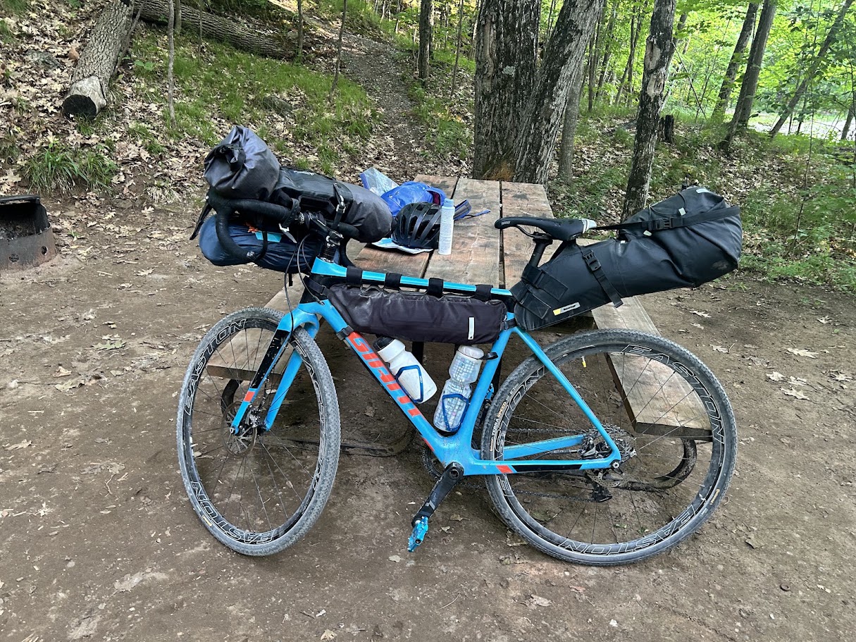
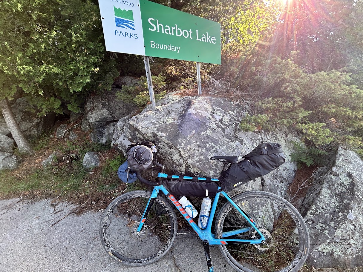
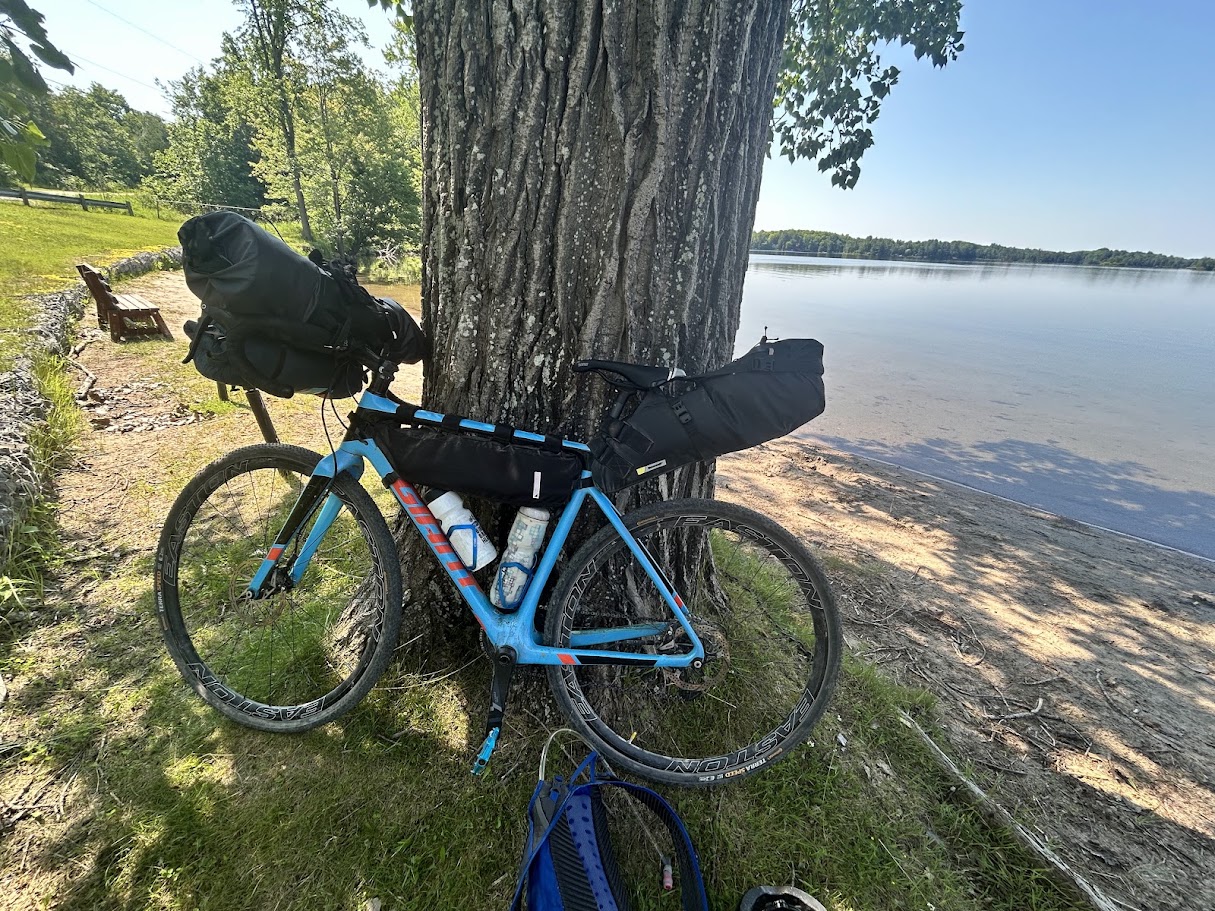
A solo overnight in late June along the K&P Trail offered the ideal test track for a full-gear shakedown. Rolling past South Frontenac’s lakes and backcountry gravel roads, the route served as a real-world test for my loaded rig — with a night at Sharbot Lake Provincial Park. This loop can also be modified into a long single-day ride, without carrying all the camping equipment on the bike.
Quick answer: Verona to Sharbot Lake Provincial Park and back is about 135 km over two days — 78.8 km up, 56.0 km back — on mostly gravel and quiet paved township roads, with one short technical stretch of soft gravel. A gravel or cyclocross bike with 38–45mm tires is the right tool for it; a road bike will struggle on the gravel sections. Prefer a single day? See the loop versions below — same roads, no overnight gear, about 112 km, or a tighter 58 km option.
The route, day by day
| Day | Distance | Elevation gain | From → to | What’s on it | Track |
|---|---|---|---|---|---|
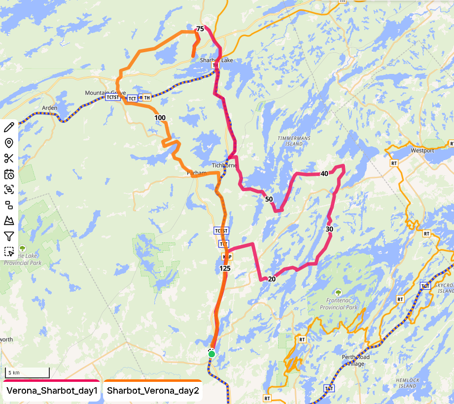
| 1 | 78.8 km | ~950 m | Verona → Sharbot Lake PP | Flat, easy gravel warm-up on the K&P Trail north to Cole Lake, then quiet country and cottage roads east through lake-and-forest country toward Frontenac Park — one technical stretch of soft gravel near Burridge Lake. A rest and swim at Bob’s Lake, then a second rest, swim and resupply passing through the small town of Sharbot Lake, before threading Route 509 → Bell Line Rd → Towline Rd to avoid Highway 7 on the final approach to the park. | GPX |
| 2 | 56.0 km | ~509 m | Sharbot Lake PP → Verona | North on Towline Rd (buggy) to Bell Line Rd — a nice gravel ride past small farms — then a careful crossing of Highway 7 onto Frontenac Rd, a scenic, historical gravel road south to Long Lake for a lunch swim at the public beach. Mostly paved from there, with a final stretch broken up by a cooling-off dip at the private campground on Cole Lake, then back onto the K&P Trail into Verona. | GPX |
| 134.8 km | both |
Day 1: K&P Trail to Frontenac cottage country
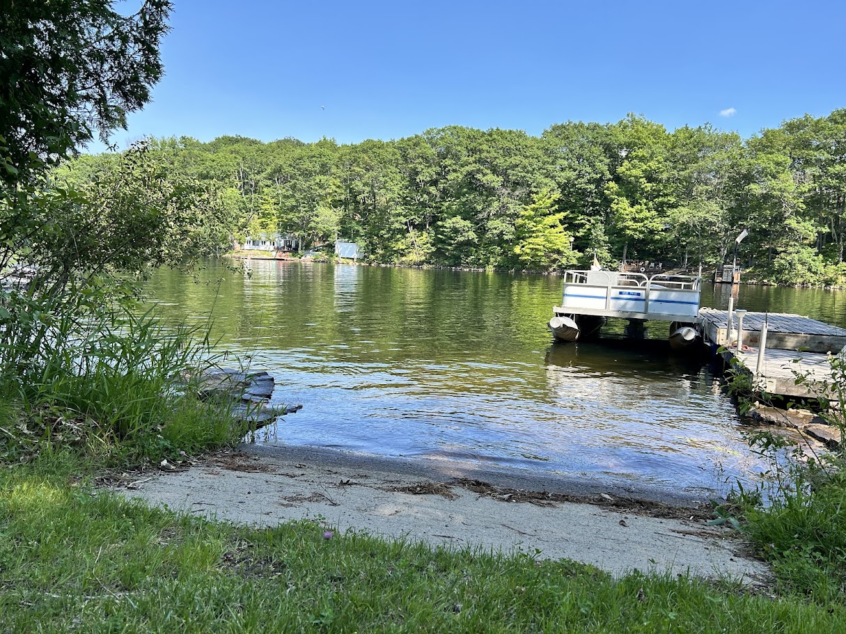
The K&P Trail out of Verona is flat, easy gravel — a warm-up before the roads get more interesting. At Cole Lake the route turns east onto quiet country and cottage roads through lake-and-forest country toward Frontenac Park, with one genuinely technical stretch of soft gravel near Burridge Lake. Bob’s Lake is one of several optional swim spots along the way; the small town of Sharbot Lake, a bit further on, is a good spot for a rest and resupply before the final approach to the park.
Sharbot Lake Provincial Park
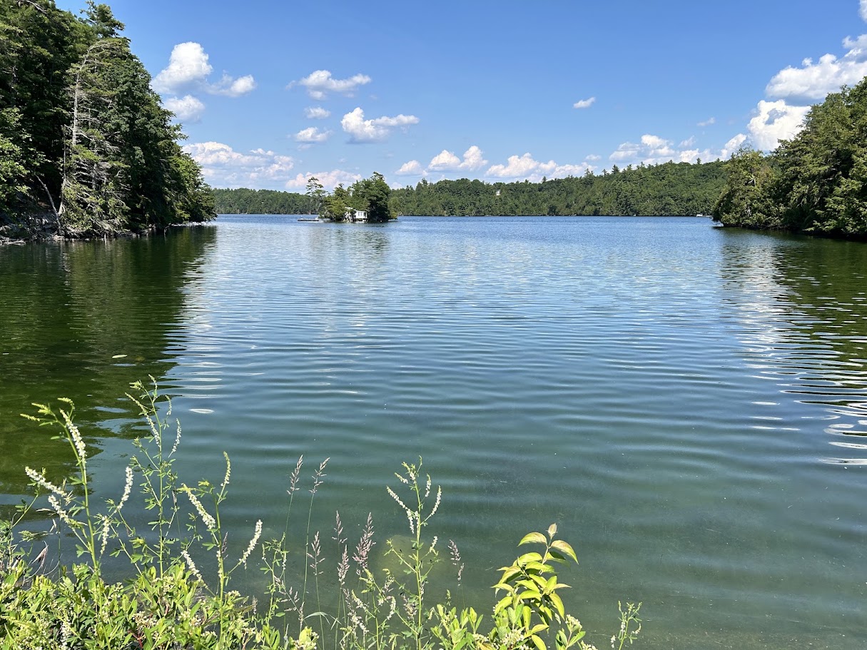
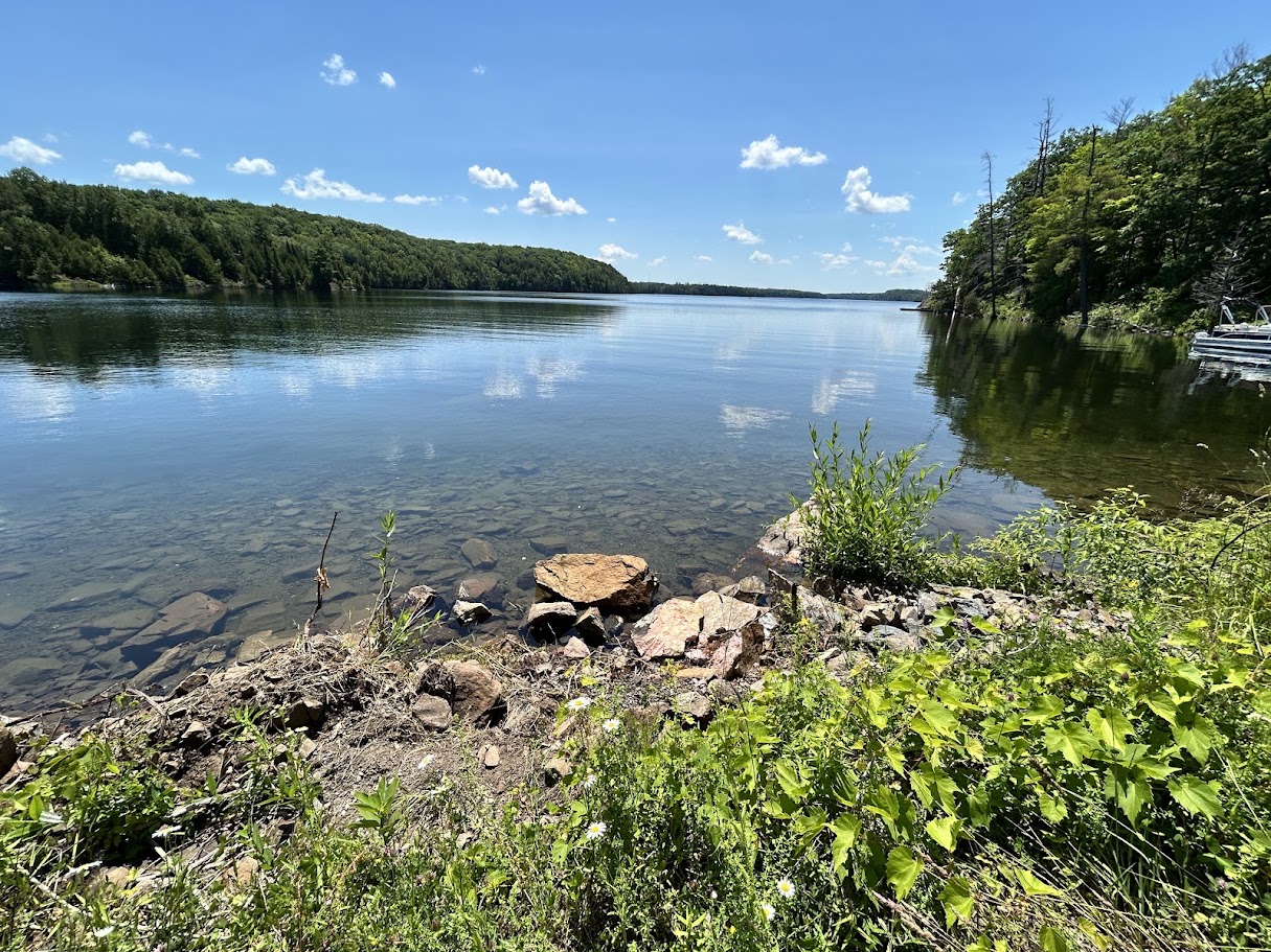
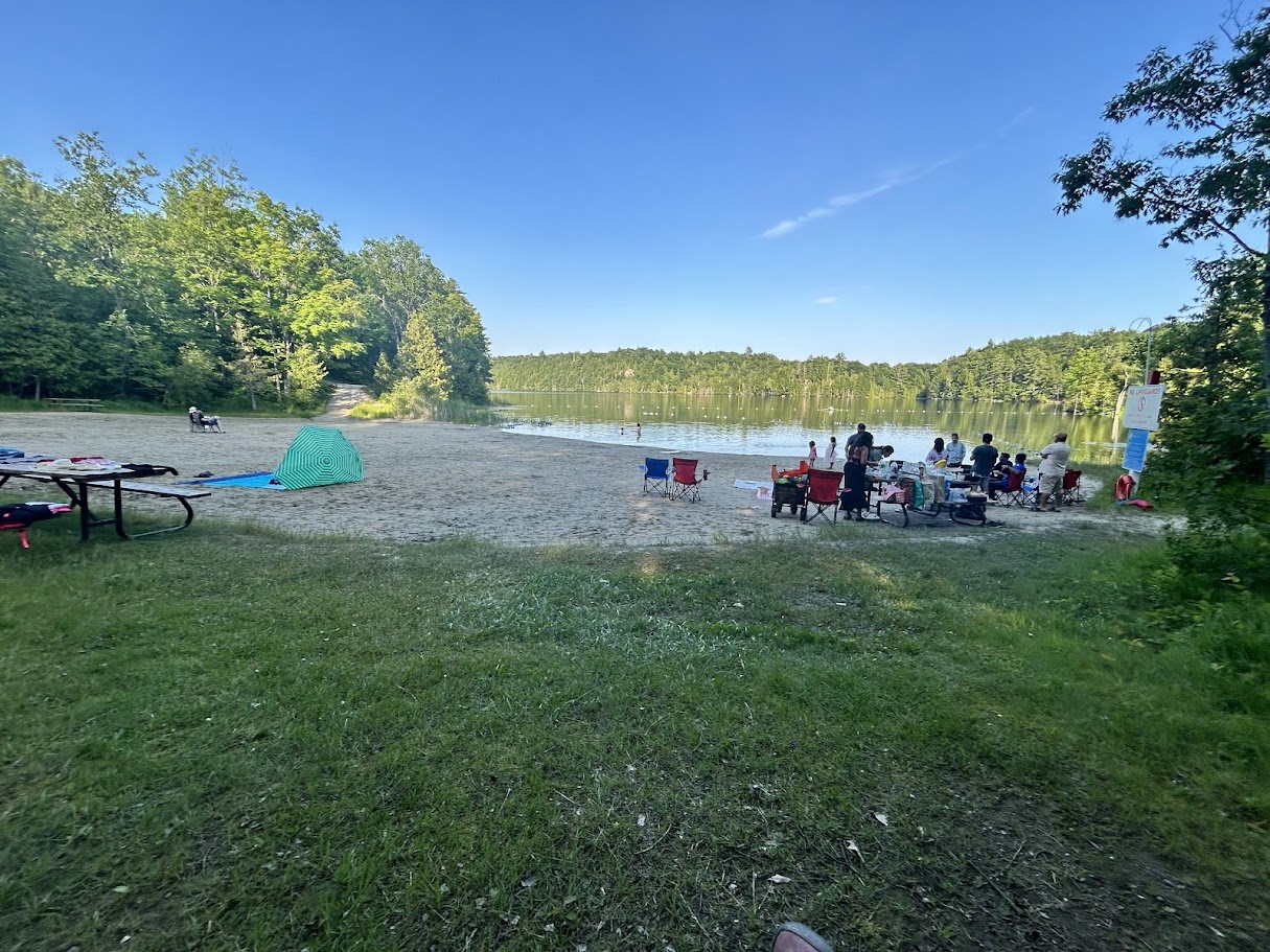
Sharbot Lake Provincial Park is frontcountry and car-accessible, with 176 sites split across four campgrounds — Beach Front, The Point, Ridgeview and Maple Grove — plus the full amenity list: boating, canoeing, kayaking, swimming, hiking, a dog beach. It’s the easy, well-serviced option in this stretch of the Kawarthas — the kind of destination that rewards a two-day pace rather than a one-day slog, since you’re rolling in with a full afternoon left rather than racing to set up camp before dark.
| Campground | Sites | Privacy (Good / Avg / Poor) | Traffic noise | Electrical | Notes |
|---|---|---|---|---|---|
| Beach Front | 38 | 24% / 65% / 11% | Likely noisy (~65 dB, nearest trunk road 126 m) | 55% | Closest to the beach, store and showers; best-rated of the four on our quality measure (61% Good) |
| The Point | 36 | 25% / 44% / 31% | Likely noisy (~65 dB, 109 m) | 0% | 22% of sites are walk-in/tents-only |
| Ridgeview | 54 | 26% / 54% / 20% | Possibly noticeable (~60 dB, 413 m) — quietest of the four on paper | 0% | Where we stayed. Largest campground, shortest average site length, highest share walk-in/tents-only (30%/28%) |
| Maple Grove | 48 | 19% / 48% / 33% | Likely noisy (~65 dB, 112 m) | 35% | Weakest privacy split of the four |
Ridgeview is the only one of the four where our traffic-noise model lands in “possibly noticeable” rather than “likely noisy” — but that’s relative, not silent: Highway 7 was still audible from our site. If an electrical hookup matters, skip Ridgeview and The Point outright; neither has a single serviced site. Beach Front and Maple Grove are the only two with power, at 55% and 35% of sites respectively.
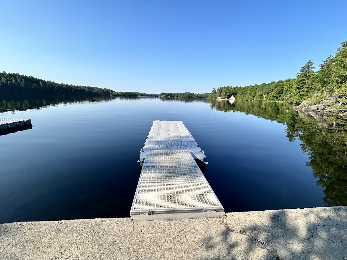
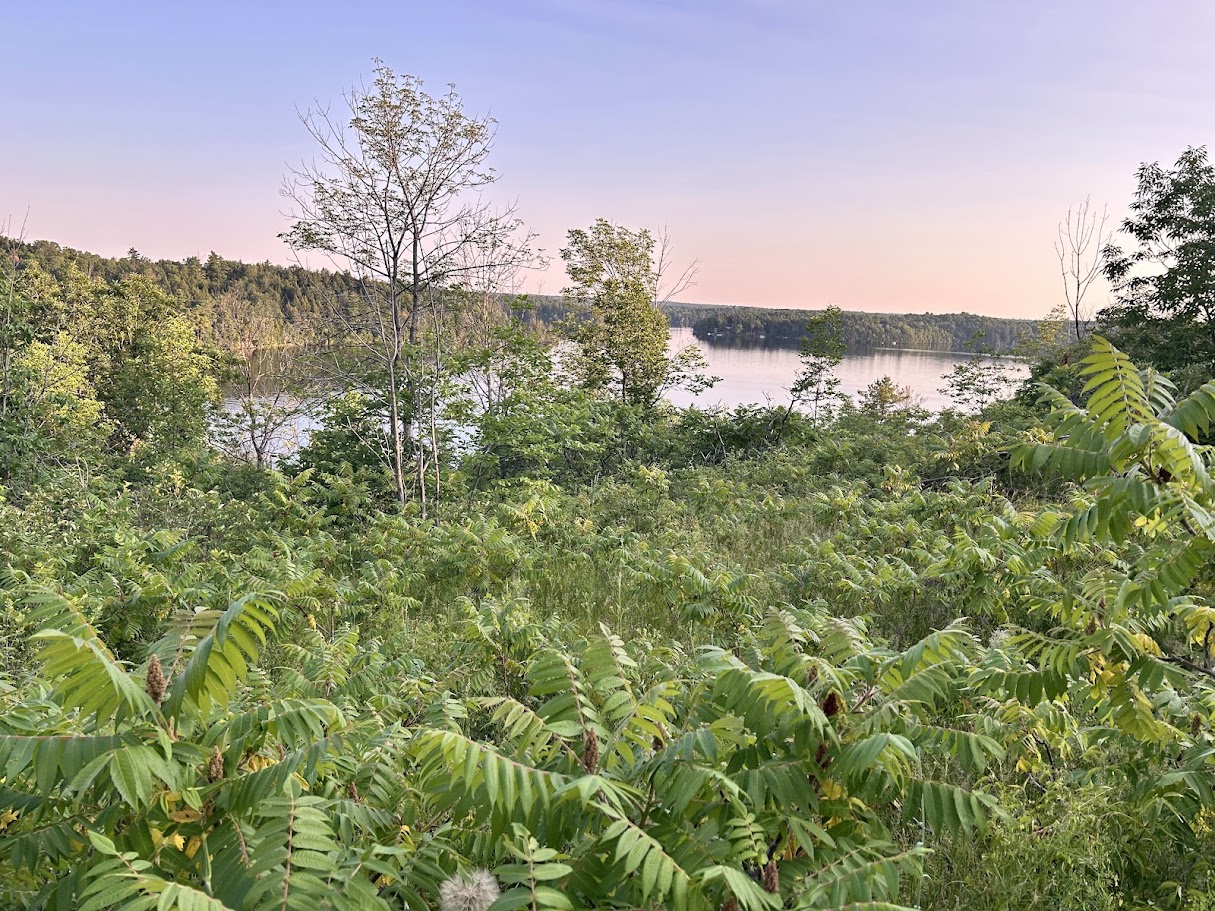
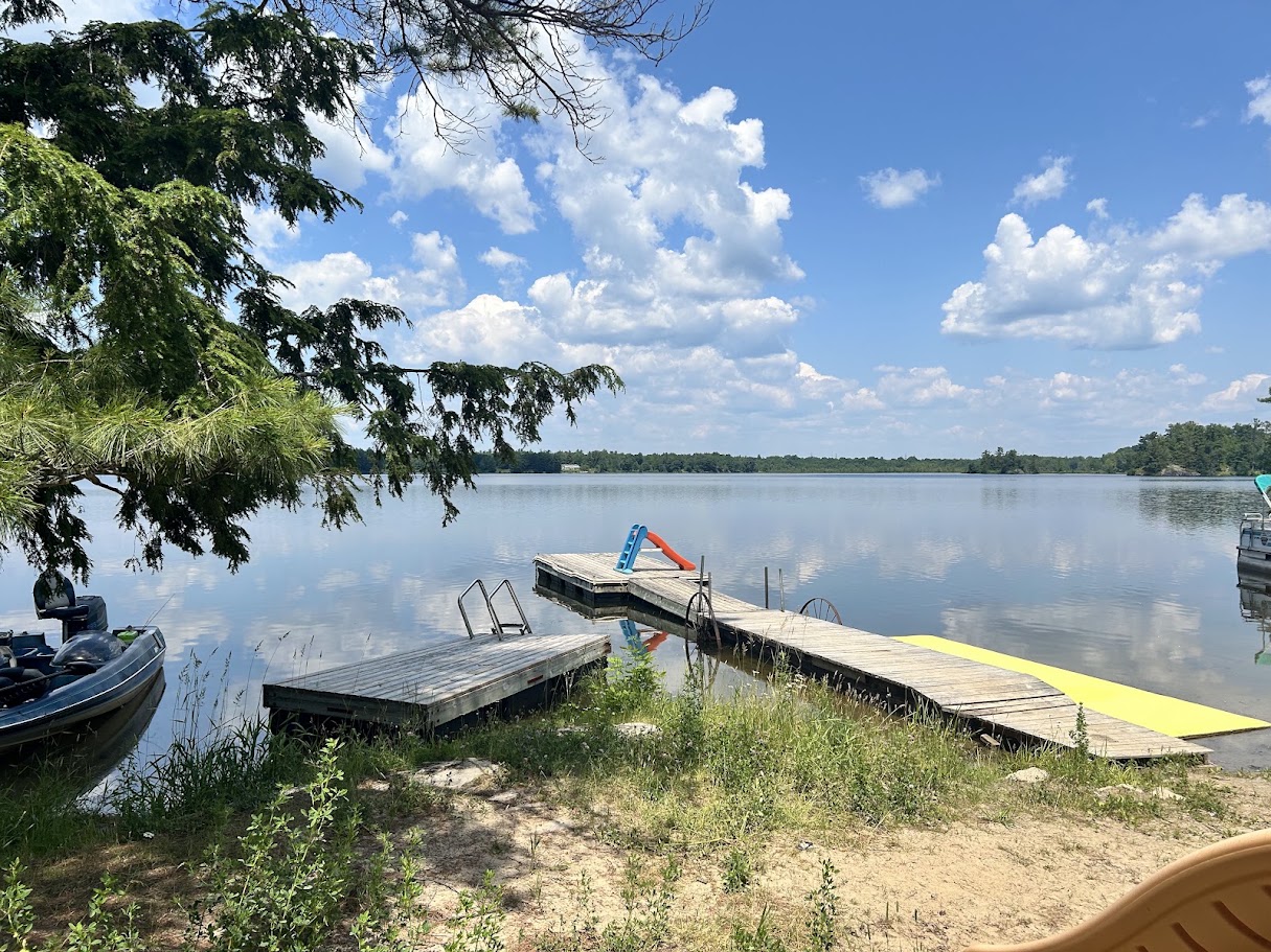
We stayed on the Ridgeview loop — sites here are private and well-spaced, though Highway 7 is close enough that truck noise carries in. The Ridgeview Trail itself is a short, worthwhile walk for sunset, and the swim dock facing south (down a steep hill) is a quieter spot than the main beach. Washrooms on this loop are basic — no showers — so if you want hot water, head back to the park entrance, where the campground store also sells cold drinks that hit exactly right after a hot ride, and there’s a beach with a shower nearby.
Day 2: Frontenac Rd and the historical back roads
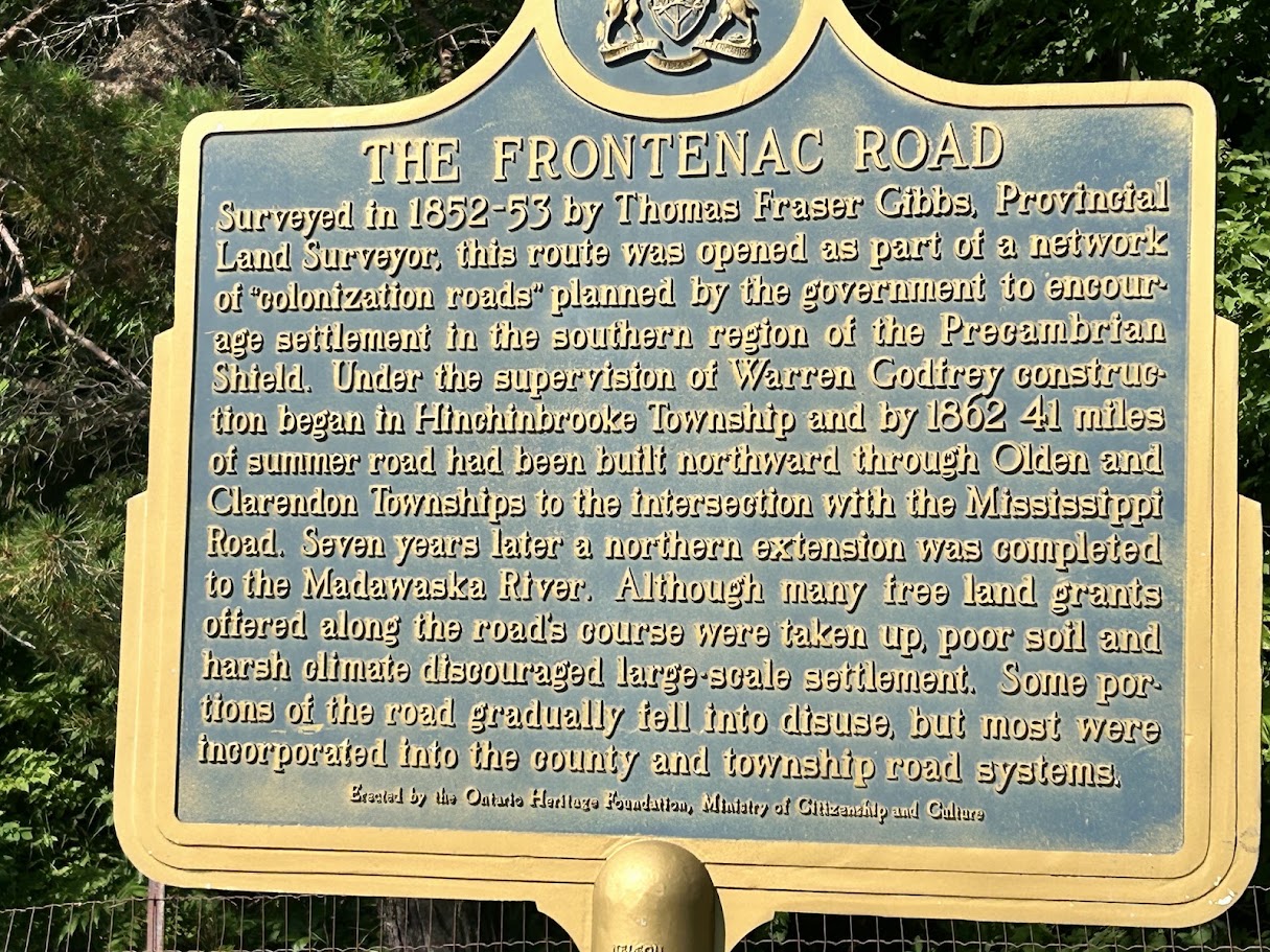
Day two retraces Towline Rd north — buggy — to Bell Line Rd, a good gravel ride past small farms, before a careful crossing of Highway 7 onto Frontenac Rd: a scenic, historical gravel road running south to Long Lake, where a public beach makes a good lunch and swim stop. From there it’s mostly paved roads back toward Parham, with a final stretch broken up by a cooling-off dip at the private campground on Cole Lake before rejoining the K&P Trail into Verona.
Booking and planning
We booked the Ridgeview site two days ahead of the trip with no trouble — this isn’t a park that needs months of lead time outside long weekends. Parking in Verona is at the official day-use lot right on the K&P Trail; the car was exactly where we left it two days later.
A one-day loop instead
If you’d rather not carry overnight gear, the same roads reduce to a 112 km loop with Sharbot Lake Provincial Park as the turnaround instead of an overnight stop. Days 1 and 2 above only overlap on two short out-and-back stretches — the K&P Trail between Verona and a junction near Cole Lake/Parham (about 11.5 km each way), and Bell Line/Towline Rd into the park gate (about 3 km each way). Cut the Verona leg and start from that Cole Lake/Parham junction instead, and the rest forms a genuine loop: out via Frontenac Rd and Long Lake, around through Sharbot Lake PP, and back via Bob’s Lake, Burridge Lake and the town of Sharbot Lake (or the reverse).
Since it’s a closed loop, the total is the same regardless of where you join it — Sharbot Lake PP itself, the town of Sharbot Lake, the Cole Lake/Parham junction, or Long Lake all work as a start/end point, at roughly 112 km and ~1,290 m of climbing either way. [Confirmation of parking options at Sharbot town / Parham / Long Lake is still pending — only Verona’s lot is confirmed official.]
If you want to redraw the loop around a different start point — Sharbot town, Parham, Long Lake, wherever suits you — gpx.studio is the easiest way to do it: load both GPX tracks, pick your join point on the map, and read the trimmed distance straight off.
Short on time? There’s a tighter loop too. Starting from Parham, skip the eastern Frontenac-cottage-roads detour entirely: ride north from Parham onto the K&P Trail and follow it straight in to Sharbot Lake PP, then come back via Bell Line Rd and Frontenac Rd (or ride it the other way around — either direction works). That’s about 58 km total. Two of the three legs are GPS-measured straight off the original tracks — the K&P Trail from near Eagle Lake into Sharbot Lake PP (20.7 km, the tail end of day 1’s own track) and the return via Bell Line/Towline/Frontenac Rd to Parham (32.7 km, day 2’s own track). The short connector from Parham onto the K&P Trail itself (roughly 4 km) isn’t on either recorded track, so that stretch is a map estimate, not GPS-confirmed. Climbing on the two measured legs adds up to ~535 m (170 m + 365 m) — the connector’s elevation isn’t included, so treat that as a slight underestimate.
If you’d rather start and finish at your car in Verona without arranging a different lot, riding both days back to back as a single out-and-back is the more straightforward option — about 134.6 km, just longer and with more repeated road (the full K&P Trail spur, twice).
Nearby parks: Silver Lake and Frontenac
Two other provincial parks sit within a short distance of Sharbot Lake, in case it’s full for your dates or you just want to compare options.
Silver Lake Provincial Park — about 13 km north as the crow flies. Frontcountry and car-accessible, with 146 sites across three campgrounds: Dawson (42 sites, 14% electrical), Algonquin (43 sites, no electrical), and Wesley (56 sites, 39% electrical — the most of the three). Wesley also has the weakest privacy split of the three (9% Good, 59% Poor) and the loudest measured traffic noise (~66 dB); Algonquin’s privacy is a little better (19% Good) at a quieter ~61 dB.
Frontenac Provincial Park — about 31 km south as the crow flies. A different kind of camping entirely: backcountry only, every site hike-in or paddle-in, no car camping and no RV or trailer sites at all — Ontario Parks’ own notes are explicit about that. 51 sites total, booking window opens 5 months out. Not a fit if you’re riding in loaded and expecting to roll up to a site; it’s the option if you’d rather leave the bike at the trailhead and hike or paddle in instead.
How we know all this
Campaid is a booking assistant for Canadian camping trips — it checks live availability across Ontario Parks, Parks Canada, Sépaq and more, per night rather than as a single sold-out yes/no, and factors in what the booking page never tells you: fire bans, road and rail noise, how exposed a site is, drive time from where you actually live. Bikepacking routes are their own hard case, because the thing that actually matters — what the road surface is really like, whether a park along the way even has camping — isn’t in any booking system. So we ride it, measure it, and write it down.
If you’ve ridden this route and have corrections or a different take, tell us. Route notes get better the more people ride them.
Frequently asked questions
How long is the Sharbot Lake bikepacking route?
About 135 km round trip from Verona, split over two days — 78.8 km out, 56.0 km back — on mostly gravel and quiet paved roads, with one short technical section of soft gravel near Burridge Lake. Comfortable for a rider used to a full day in the saddle; nothing about it is a grind.
Do I need a gravel bike for this route?
A gravel or cyclocross bike with 38–45mm tires is the right call. Most of the route is quiet paved road or hardpacked gravel, but the K&P Trail and the soft-gravel stretch near Burridge Lake would be uncomfortable on a standard road bike’s narrower tires.
Where do I camp at Sharbot Lake?
Sharbot Lake Provincial Park has 176 sites across four campgrounds — Beach Front, The Point, Ridgeview and Maple Grove — with the usual amenities park-wide: boating, canoeing, kayaking, swimming, a dog beach. We booked the Ridgeview loop just two days ahead with no trouble; if you want an electrical hookup, book Beach Front or Maple Grove instead — Ridgeview and The Point have none. For hot showers, head to the park entrance regardless of which loop you’re in.
What if Sharbot Lake PP is fully booked for my dates?
Silver Lake Provincial Park is about 13 km north and books through the same Ontario Parks system — same reservation window, similar frontcountry setup, more electrical sites at Wesley campground. Frontenac Provincial Park is backcountry-only (hike-in/paddle-in, no car or RV camping), so it’s a different kind of trip rather than a straightforward substitute.
Is this a good beginner bikepacking route?
Yes, with the right bike. The distance and elevation are manageable in a day each way, roads are quiet, and the only technical moment is a short soft-gravel stretch near Burridge Lake. Stick to a gravel or cyclocross bike with wider tires and you won’t be caught out.
Can I do this as a one-day loop instead of an overnight?
Yes, two ways. Skip the Verona leg and start from the Cole Lake/Parham junction, the town of Sharbot Lake, Sharbot Lake PP itself, or Long Lake — it’s a closed loop, so the total is about 112 km regardless of where you join it. Or, for a shorter day, start from Parham and take the K&P Trail straight in to Sharbot Lake PP, returning via Bell Line and Frontenac Rd — about 58 km. See the loop section above for how the roads connect on each.
Planning a trip like this? Campaid checks live availability across Ontario Parks, Parks Canada, Sépaq and more — per night, with cancellations, noise, privacy and fire bans factored in. Try it free.