Rouge to Glen Major: A 63 km Gravel Ride from Toronto’s National Park up to the Oak Ridges Moraine
Most rides on this blog start at a campsite or an hour from the city. This one starts inside the GTA. Rouge National Urban Park has a parking lot on 16th Avenue in Markham, and from there it’s a short spin to quiet back roads, gravel and, after a long steady climb, the forests of the Oak Ridges Moraine at Walker Woods and Glen Major, near Uxbridge.
We rode it on Sunday 18 October 2026, the weekend after Thanksgiving, under a perfectly clear sky and at peak colour. It was about 10 °C at the start.
Quick answer: A 63 km gravel loop from the Rouge National Urban Park lot at 7741 16th Avenue, Markham: north on a park path and back roads past Stouffville and Goodwood, up onto the Oak Ridges Moraine, through North Walker Woods on forest trail and across Glen Major Forest on singletrack, then home on gravel roads between Claremont and Brougham. Roughly two-thirds gravel, 900 m of climbing, about 3 hours of riding plus stops. Bring a gravel or cyclocross bike. Under an hour from downtown Toronto by car.
The ride
| Ride | Distance | Climbing | Surface | Track |
|---|---|---|---|---|
| Rouge to Glen Major loop, from the 16th Ave lot, Rouge National Urban Park | 63 km; 3:00 moving, about 21 km/h (Garmin) | +900 m total (Garmin); high point about 400 m, some 200 m above the start | About 60–70% gravel (roads and park path), the rest paved concession road, plus forest trail in North Walker Woods and singletrack across Glen Major Forest | GPX |
It’s a loop, run anticlockwise: north to the moraine for the first 38 km, then south and back west for the last 25. The climbing is front-loaded, long and gradual, and the return is fast. With photo stops in the woods it was about three and a half hours car to car. The GPX is a Garmin course — the route as planned — so it has no times; the 900 m of climbing is the Garmin’s figure from the ride.
Out of the Rouge, km 0–13
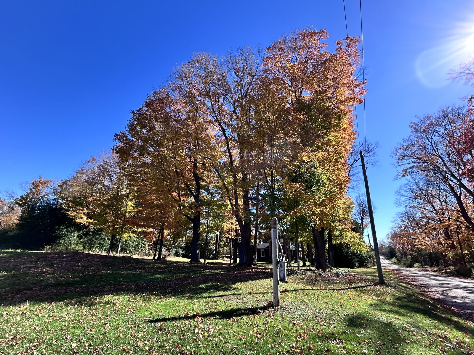
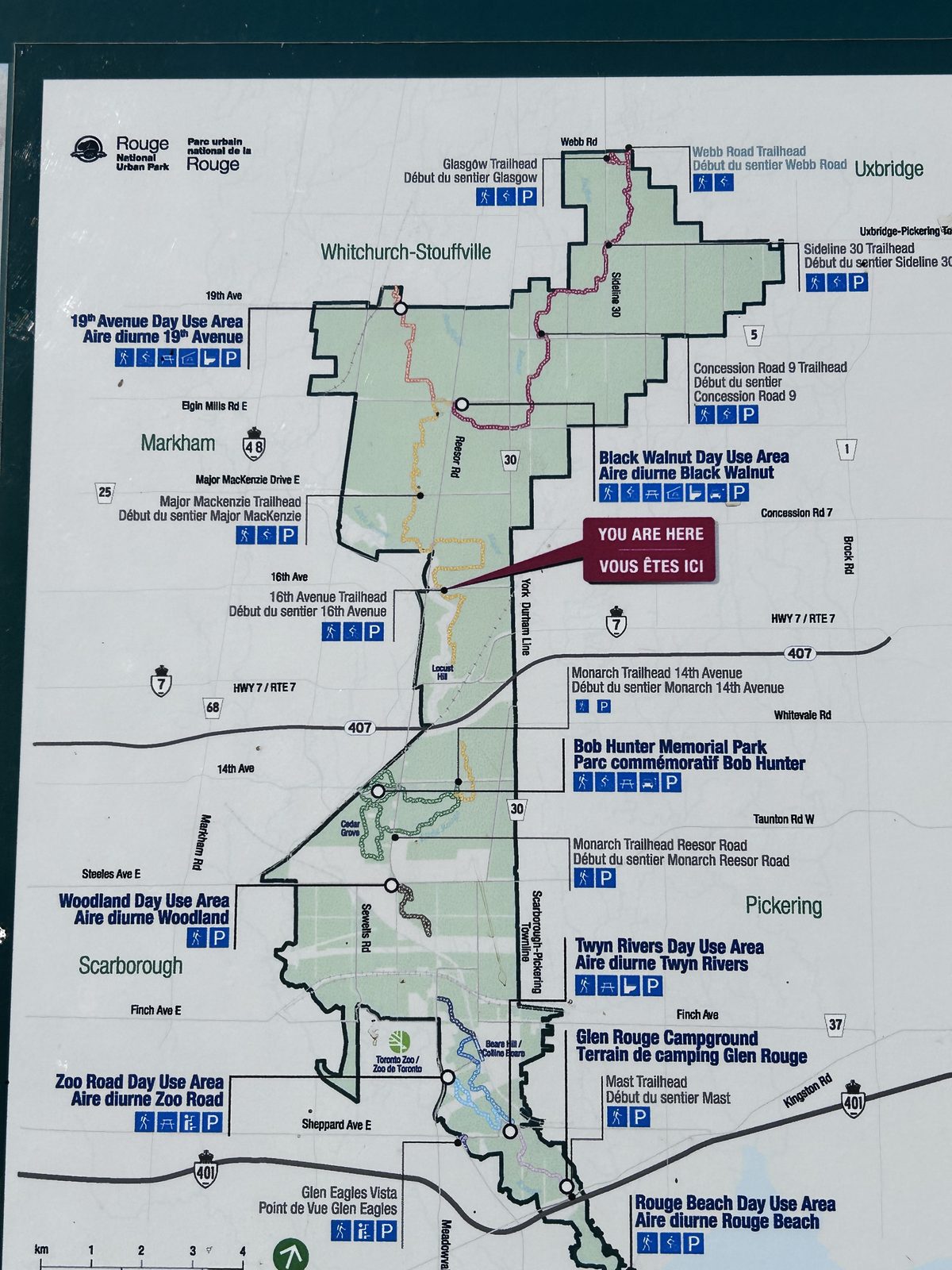
The 16th Avenue lot is the quiet northern corner of the national park, with room to park and a map board showing how far the park reaches: from Rouge Beach on Lake Ontario, past the Toronto Zoo, up to this field edge in Markham.
The first stretch is park path — wide, smooth gravel between hedgerows and open fields. This is the Rouge most people don’t picture: not ravine and river but farmland.
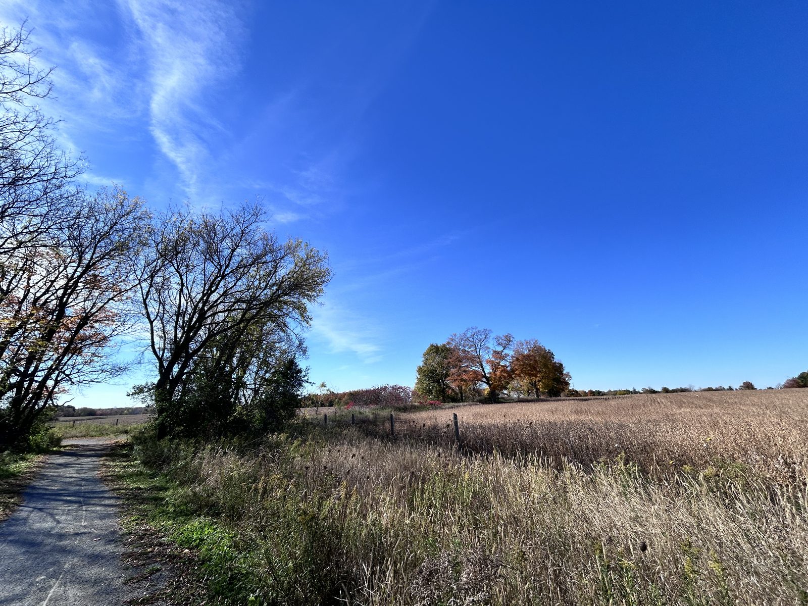
By km 13 you’re on the concession roads east of Stouffville — pavement and gravel, two-lane, and very lightly travelled on a Sunday morning.
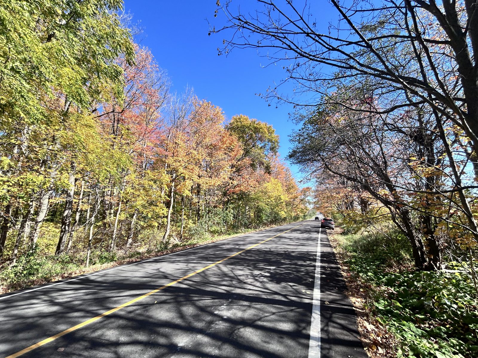
Up onto the moraine, km 13–32
From here the route works north past Goodwood and climbs steadily for the best part of 20 km — more a long drag than hills, though the rolling adds up to most of the day’s 900 m. The Oak Ridges Moraine is the ridge of glacial sand and gravel across the top of the GTA, and riding up onto it is a real change of country: rougher farms, older stone walls, bigger woods.
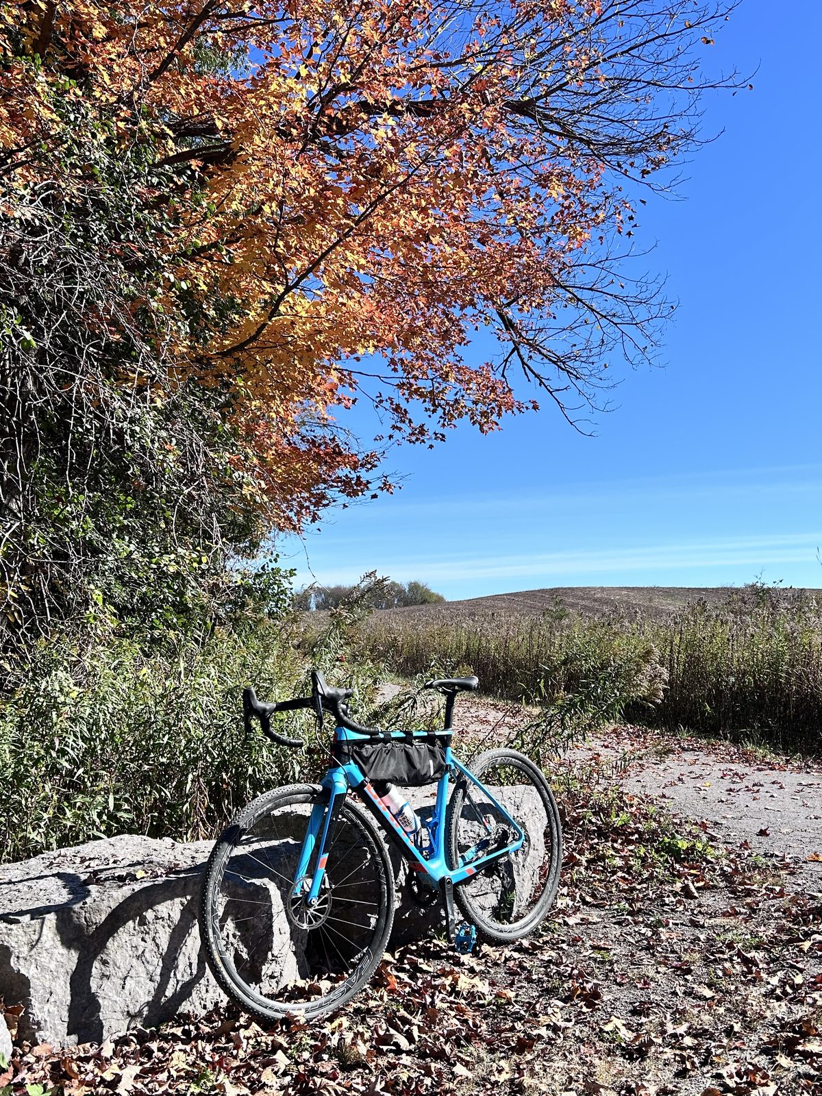
Through Walker Woods, km 32–37
At km 32 the route reaches the North Walker Woods west trailhead on Brock Road and enters the forest. North Walker Woods is one of a group of conservation tracts here — with Walker Woods, Pleasure Valley, Wilder Forest and Glen Major Forest — owned by Toronto and Region Conservation (TRCA) and open to hikers, horse riders, skiers and cyclists. Junctions are numbered (N1, N2…) on posts in the woods.
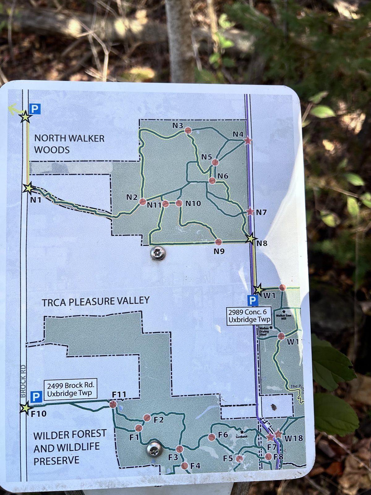
TRCA publishes the same map as a free download: the East Duffins Headwaters map on the Avenza Map Store. It covers the whole 1,548-hectare forest, and in the Avenza Maps app it shows where you are on the trails, even without phone signal.
This is the best part of the ride. The trails are wide, mostly smooth and, in mid-October, buried in leaves under tall maple and beech.
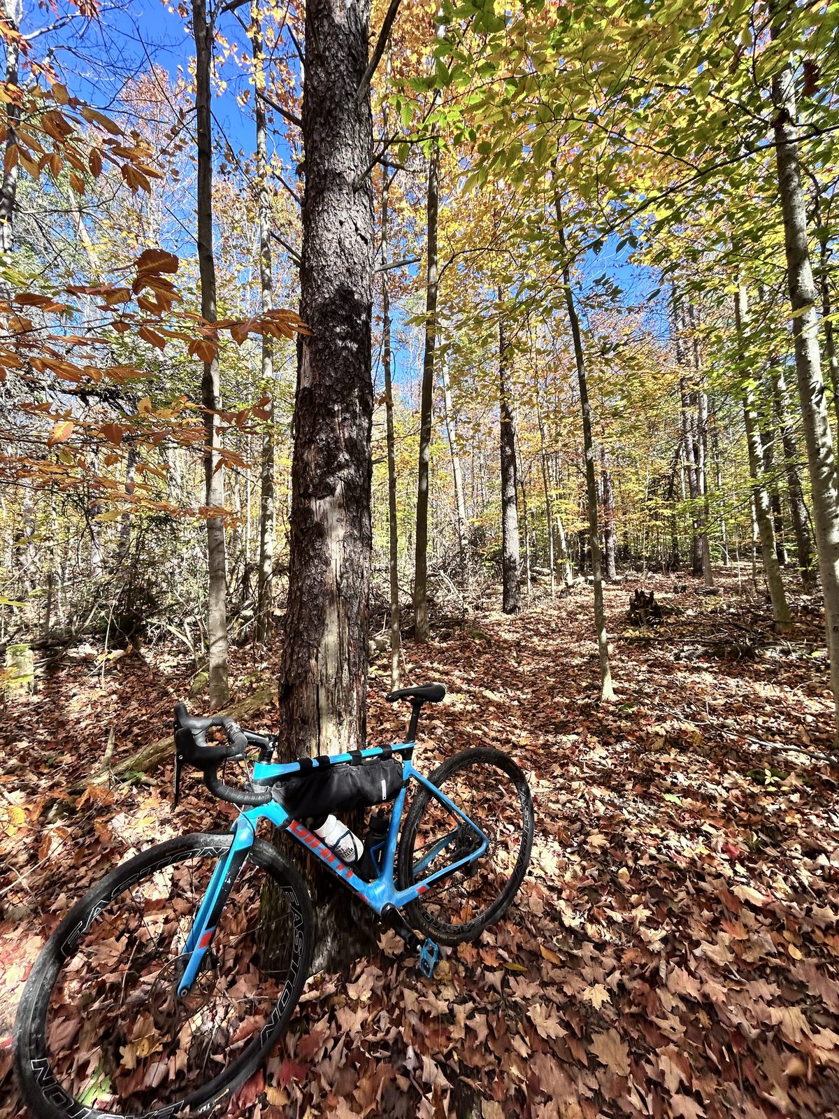
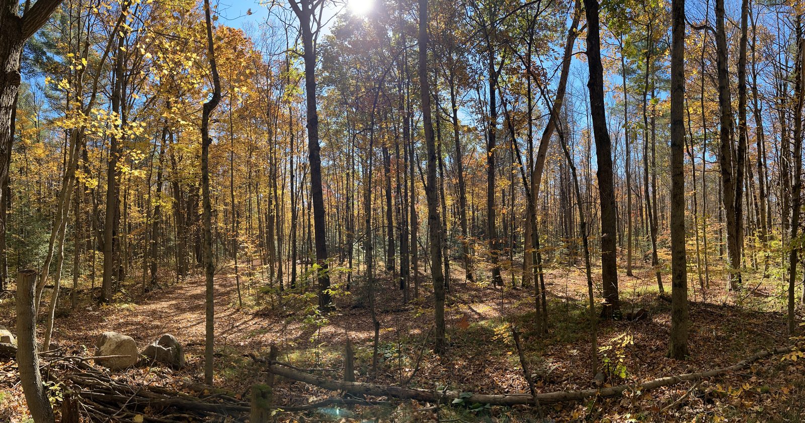
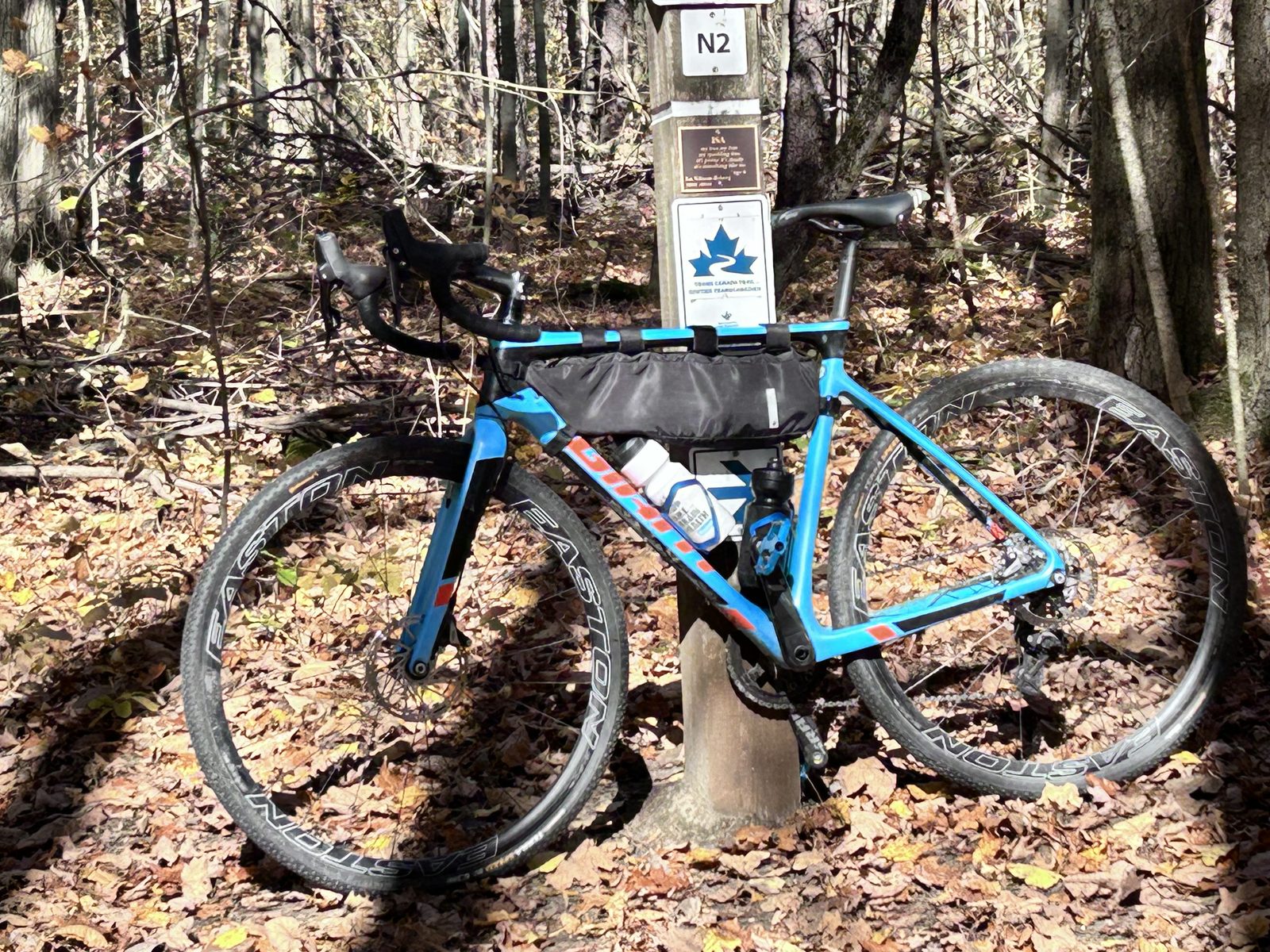
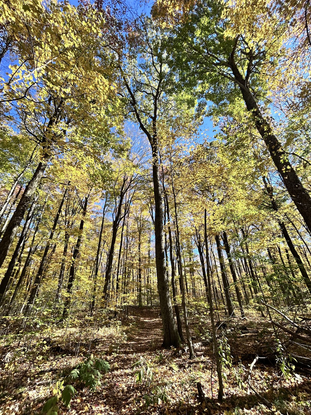
These trails are shared, mostly with walkers and dogs. Ride slowly, call out and give way, and take descents gently — wet leaves over roots are slippery.
Glen Major and home, km 37–63
Past the woods the route passes the Walker Woods lot on Concession 7, the high point at about 400 m, and crosses Glen Major Forest on a singletrack. It isn’t technical, but in October it’s buried in leaves and sandy in places — keep your weight back on the sand and don’t brake hard on leaves. Glen Major is laced with trails, and if you have time there’s a lot more forest to explore; the TRCA map shows them all.
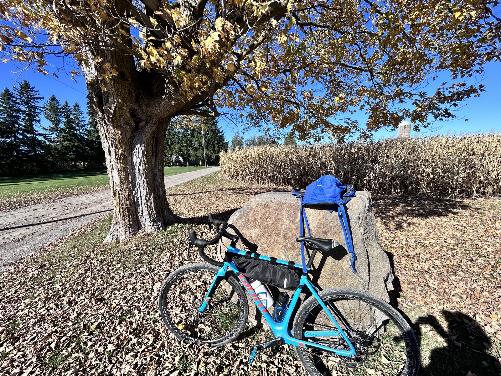
Out of the forest the route turns south and gives the climbing back on gravel roads through open farm country, descending almost to km 50. The last 13 km run west between Claremont and Brougham, mostly on gravel lined with sugar maples — some of the prettiest roads of the day.
Where to camp
You can’t camp in the Rouge right now: its Glen Rouge campground is closed. The nearest provincial park campground is Sibbald Point Provincial Park on Lake Simcoe — on the route of our Keswick to Sibbald Point ride — about an hour’s drive from the 16th Avenue lot, or about 55 km by bike, roughly three hours.
That makes a good two-ride weekend: this gravel loop on Saturday, a night at Sibbald Point, and the flat, paved Lake Simcoe shore on Sunday. Sibbald Point’s camping season runs to 26 October this year; after that, both rides still work as day trips.
Nearby: the Rouge trails and the Toronto Zoo
The loop only touches the top of Rouge National Urban Park. South of 16th Avenue it runs to Lake Ontario, with a network of trails through farmland, forest and the Rouge River valley. Bikes are allowed on the multi-use trails — Parks Canada names the Northeast, Harvest, Central and South Central trails and parts of the Monarch Trail — and park roads such as Reesor and Beare are a popular road ride.
The Toronto Zoo, at 2000 Meadowvale Road, sits beside the park’s southern end, about 10 km south of the 16th Avenue lot.
What the booking site can’t tell you about cycling
By late October most Ontario Parks campgrounds are closing, and the campsite-based rides in this series are done for the year. This one needs no campsite. Rouge’s own pages cover trails and parking; they can’t tell you that a 16th Avenue lot is a door into some of the best gravel riding around Toronto, climbing onto a moraine of conservation forest that in mid-October is as good as anything three hours north. None of that lives in a booking system — which is why we go and ride it. It’s also an honest shakedown if you’re planning gravel bikepacking next season.
Practical notes
Bike. Gravel or cyclocross, tires around 35 mm or wider. The forest trails aren’t technical, but they’re leaf-covered and sandy in places, with roots underneath. A road bike would cope with the roads, not the woods.
Parking. Start and finish at the Rouge National Urban Park lot, 7741 16th Avenue, Markham (map). It’s a small lot. If it’s full, park at one of the other Rouge trailheads along the route — from south to north on the park map, the Major Mackenzie Trailhead, the Black Walnut Day Use Area (off Elgin Mills Road) or the Concession Road 9 Trailhead — and join the loop there. To start on the moraine instead, there are trailhead lots on Brock Road and Concessions 6 and 7 in Uxbridge; the Walker Woods lots charge non-residents.
Water, food and washrooms. It’s best to be self-sufficient: carry water and food for the whole loop. There are places along the way where you can probably find a washroom, but we didn’t go looking, so don’t count on one. Stouffville and Uxbridge are short detours if you need supplies.
Clothing. At 10 °C a cycling jacket came off after an hour of climbing; long pants and gloves stayed on. The open roads feel colder than the forest — they’re exposed to the wind, and the woods are sheltered.
When. Mid-October for colour; May and June for green and long days. After heavy rain the gravel roads can get soft.
Navigation. Use the GPX, plus the TRCA map in Avenza for the forest — the turns into and out of the woods aren’t obvious, and signal is patchy.
How we know all this
Campaid is a booking assistant for Canadian camping trips. It checks live availability across Ontario Parks, Parks Canada, Sépaq and more — per night rather than as a single sold-out yes/no — and factors in what the booking page never tells you: fire bans, road and rail noise, how exposed a site is, fall colour status, weather from Environment and Climate Change Canada, and drive time from where you live.
What’s outside the park gate is the part nobody holds data on, so we ride it and write it down. If you know a better line through the moraine forests, we’d like to hear it.
Frequently asked questions
Is there good gravel riding near Toronto? Yes. The roads north of Rouge National Urban Park, between Markham, Stouffville, Uxbridge and Pickering, mix quiet pavement and gravel and connect to the conservation forests of the Oak Ridges Moraine. Our 63 km loop starts at the park’s 16th Avenue lot, under an hour from downtown.
Can you cycle in Rouge National Urban Park? Yes, on the designated multi-use trails and park roads. Our route uses a gravel park path to head north from 16th Avenue.
Can you ride bikes at Walker Woods and Glen Major Forest? Yes. The TRCA-owned Glen Major–Walker Woods complex is open to cyclists, hikers, skiers and horse riders. The trails are shared, so ride slowly and give way.
Where do I park? At the Rouge National Urban Park 16th Avenue parking lot, 7741 16th Avenue, Markham — the loop starts and finishes there. It’s small, so if it’s full, try the park’s Major Mackenzie Trailhead, Black Walnut Day Use Area or Concession Road 9 Trailhead further along the route.
How hard is it? Moderate to solid: 63 km and 900 m of climbing, which took us 3 hours of moving time. The singletrack isn’t technical but is leafy and sandy in places.
When are the fall colours best? On 18 October 2026 the moraine forests and roadside maples were at or near peak. Mid-October is a good bet in most years.
Where is the nearest campground? Rouge’s Glen Rouge Campground is closed. The nearest provincial campground is Sibbald Point on Lake Simcoe, about an hour’s drive or 55 km by bike. Its 2026 season runs to 26 October.
Campaid checks live availability across Ontario Parks, Parks Canada, Sépaq and more — per night, with cancellations, noise, privacy and fire bans factored in. Try it free.